Access
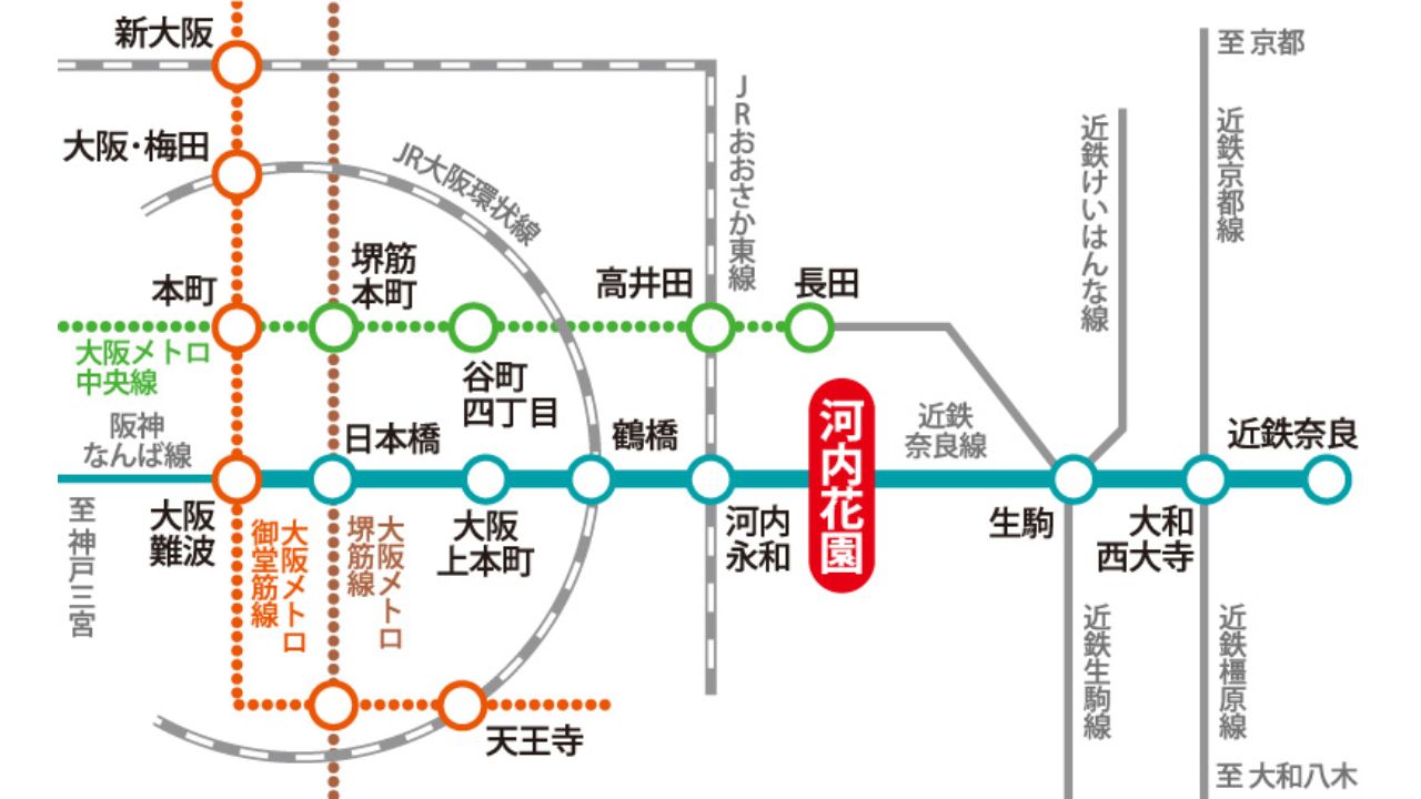
Station Route Map
The nearest station is Kawachi Hanazono Station on the Kintetsu Namba-Nara Line. The school is a 5-minute walk from the station.- About 23 minutes to Namba Station, a bustling area in Osaka
- About 26 minutes to Tennoji Station, a bustling area in Osaka
- About 35 minutes to Umeda Station, a bustling area in Osaka
- About 39 minutes to Nara, a town with Japanese history
Osaka Area Map
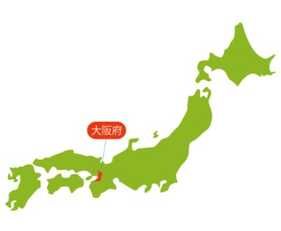
Osaka Prefecture is a central city in western Japan, located in the center of Honshu, with an area of about 1,905 square kilometers and a population of about 8.78 million, making it the second-largest city after Tokyo.
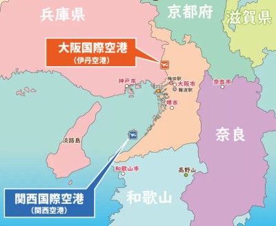
Osaka Prefecture has two airports: Osaka International Airport and Kansai International Airport. Osaka International Airport is a convenient urban airport offering a well-developed domestic flight network. Kansai International Airport is one of Japan's major international airports, with many flights to and from countries around the world.